Saturday, December 5, 2015

Joshua Tree National Park: Skull Rock, Arch, and Cholla Cactus Garden

Our last day in Joshua Tree we did the Skull Rock ranger-led hike, the Arch hike, and the Cholla Cactus Garden, all on our way to the Cottonwood visitor center on the south side. We camped on the BLM property just outside the Park. Just FTR, we really liked Joshua Tree, mainly for the rock heaps and despite the Joshua Trees. Members of the staff seemed amused at our suggestions for more accurately re-naming the Park: "Weird Rock Formations National Park," "Heaps and Piles National Park," "Two Deserts National Park," "Monzogranite National Park," "Islands of Rock National Park." Anything but "Joshua Tree." Advice: go on week-days. Week-ends the place is crawling with climbers and wannabe climbers.
Skull Rock; obviously a Conehead skull

More heaps and piles

Happy face


Skull Rock in perspective

Windows

The Arch

Cholla Cactus Garden...now in the Colorado Desert

Should be re-named "Cholla Cactus Forest"

You have been warned

You have been warned again


Relevant quote: "If the plant bears any helpful or even
innocent part in the scheme of things on this planet, I should
be glad to know of it" (J. Smeaton Chase, California Desert
Trails, 1919)
Another desert sunset sky

Joshua Tree National Park: Sunset Skies

We camped that evening at the Ryan campground, still in the Mojave section of the Park, still among the rock heaps and piles. But what commanded our attention, as the sun set during our pre-prandial promenade, were the skies above...


Joshua Tree National Park: Hidden Valley

A hundred years ago, the Mojave and particularly Hidden Valley received a good bit more precipitation than now, enough to support tall grasses and a fledgling cattle industry. The Valley was first used by rustlers, story goes, then by the Keys family, who ranched in the area until the 1950s. These days, it is the domain chiefly of tourists and rock climbers. Toward the end of our long day, we did the hike around Hidden Valley, enjoying, close-up, ever more of the fabulous monzogranite rock heaps and piles. I'll just let the pix take over...


Joshua Tree National Park: Keys View

Later we drove up to Keys View, a high point in the park's southwestern periphery, for a magnificent view of the Coachella Valley, from the Salton Sea to past Palm Springs. It was an unusually clear day, and we could easily see Signal Mountain, near the border with Mexico, 95 miles away.
A good bit of Coachella valley, Salton Sea on the left, Palm
Springs on the right


Humongous, California-size wind farm to the right


Helpful signage; click to enlarge


More of the valley


Salton Sea and Signal Mountain in the 95 mile distance; the
Salton Sea is a giant salt lake, formed, inadvertently, when a
dike burst on the Colorado River in the early 1900s; a lake
had been there on and off for aeons; the dike was repaired after
2 years, and the lake is sustained chiefly by agricultural runoff
from the Imperial and Coachella valleys; the salt content is
much higher than that of the oceans, and few species of fish
now survive in it; it is a birder's paradise, however, with over
400 species observed; it sits on the intersection of
three different major faults, including the San Andreas; and it
is but a few feet higher than Death Valley, that is, a couple
hundred feet below sea level; we decided to pass on visiting
the Salton Sea


Palm Springs is said to have nearly 100 golf courses


Thus


Panoramic shot


Joshua Tree National Park: Geology Road Tour

Both of us wish we had retained more of the geology courses we took in college. On the other hand, that was a long time ago, and geology has changed much. "Plate tectonics" was the merest conjecture way back then. Perhaps it's not too late to learn a little more. But I digress.

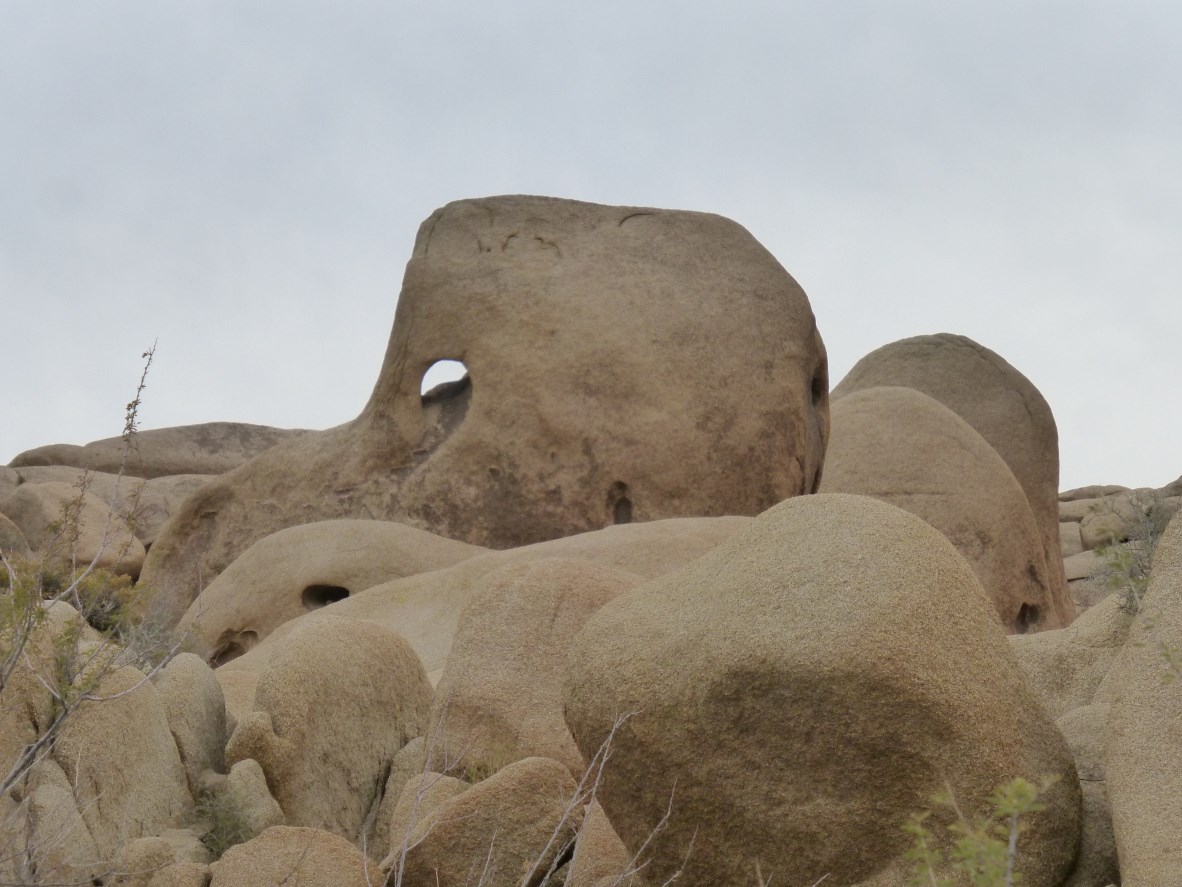
The kind of formation in Joshua Tree NP that interests us is something we have seen, we think, in a few other places...Brittany, New Zealand, and, mostly, Homestake Pass, near Butte, Montana. Wildly piled and eroded rocks, big rocks, rounded in some dimensions, and not something one can easily explain by glaciation, wind and water, etc. The formations here are something called monzogranite, igneous rock that formed of magma and fractured mostly below the surface. In Joshua Tree NPs' case, the monzogranite formed and eroded, in uplifts, some 15 miles below the surface gneiss, which over some hundreds of millions of years, has mostly eroded away. What one sees in JTNP are humongous rock piles, or insel bergs, island mountains, which, seen from a distance, look like they must be sandstone, but which are really granite, the kind of rough granite favored by rock climbers everywhere. Joshua Tree attracts more than its share of climbers.

Anyhow, we drove the "geology road tour," an 18-mile partly 4WD drive, which, via pamphlet and signage, explains much of the geology of the area and more.
Rock piles at Joshua Tree


Thus


Thus


And thus


What the stuff looks like close up; hard as a rock, too


More piles


Ditto


Ditto


And ditto


Blue gneiss eroding off the monzogranite


Up closer


The road ahead


Shifting into 4WD now, heading across washes and a dry lake


Lots of mining around here in days of old; and target practice
(Ken, note)


The road goes ever on


But we take the one marked "exit"


A bit later, back on the main road, we are exploring the Hall of
Horrors and other rock-climbing areas


Thus


And thus