Wednesday, February 12, 2014

Key Summit On The Routeburn

We did the entire Routeburn Tramp in 2009, and a bit of it just a few days before now. But Vicki wanted more of it, particularly a chance to see more of the Alpine scenery we missed in the lousy weather of 2009. So, on the way back from Milford to Te Anau, we stopped at the Pass and did the Key Summit day hike, which is an off-shoot of the Routeburn. The weather was fine, it was a good trail, and we extended the hike way out on the ridge to see all three of the lakes, Marian, Gunn, and McKeller...the significance of which is the three watersheds you can see from Key Summit, one going to the Tasman, one to the Antarctic, and one, via Balclutha, to the Pacific.
On the way we stopped at the Chasm, the major upshot of which was seeing this
bird's-eye view of a large tree fern


And these waterfalls near Homer Tunnel


Beautiful little waterfall and pool near the beginning of the
Routeburn, west side


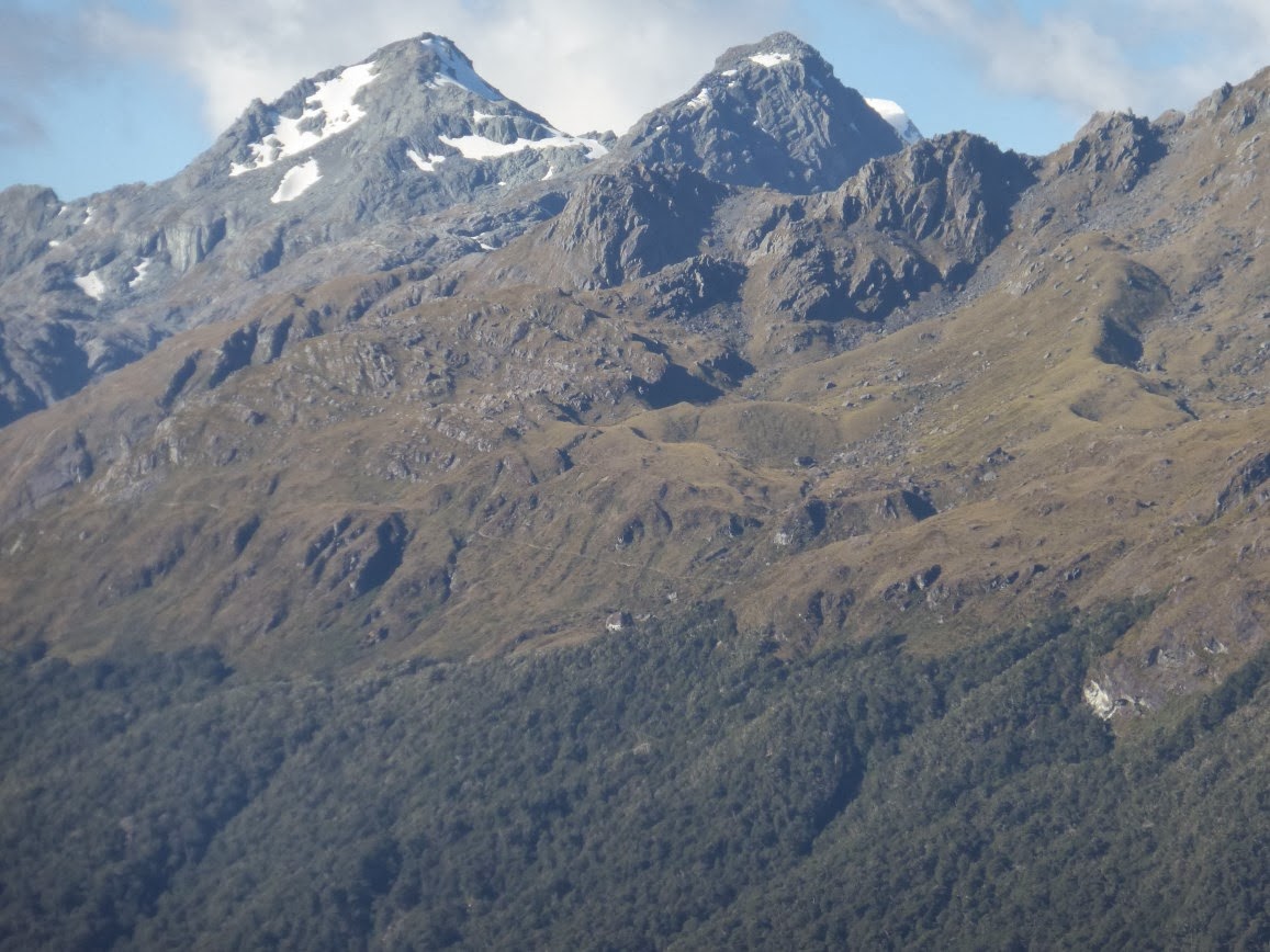
From the Routeburn/Key Summit hike, Mt. Christina


New Zealand dragonfly


More alpine scenery


Ditto


Greenstone all around; near the great fault between the Pacific and Australasian
plates (OK, I was only a C student in geology)


Lake Gunn (or possibly McKeller or Marian)


Lake McKeller


Definitely Lake Marian


Another panoramic shot


More alpine scenery


Vicki celebrates; the Routeburn was her bain in 2009, followed by knee
replacement surgery, rehab, and now, lots more hiking; pretty impressive!


The Key Summit marker, which allowed us to locate some of the upper reaches
of the Routeburn


There, right of middle, above bush-line


There, closer up


And there, close enough to make out the switch-backs


Milford Sound, 2014

In 2009, we did the Milford Tramp, stayed in Milford a couple days, then did a morning's kayaking on Milford Sound, certainly New Zealand's best known fiord and one of its several World Heritage icons. (See http://roadeveron.blogspot.co.nz/2012/12/milford-sound-2009-we-return-you-now-to.html for some of our 2009 visit.) Anyhow, as we noted at the time, amateur kayaking really does not get you very far down/up the fiord, so we resolved this time to take the 2-hour day cruise. Although more famous and, some would say, more spectacular, Milford is much smaller than Doubtful Sound. Anyhow, here are some pix of the cruise, featuring, most notably, Mitre Peak, the aforementioned icon.
Standard view


Standard artsy-fartsy view


Heavy traffic on Milford Sound


Our ship, the Milford Haven; $49 including breakfast


Night before, we stayed at the Milford Sound Lodge campground


Serenaded by cicadian rhythms


Next morning we were underway, cruising close by Mitre Peak


And finding ourselves joined by one of those giant floating hotels, the Maid of the Sea or
somesuch


Which made a quick U-turn opposite Mitre Peak and then hastened back out...
"Milford Sound, check!"


Meanwhile, we are chugging along, past Copper Point, numerous waterfalls,
fault-lines, fur seals, kayaks, birds, etc., out onto the Tasman Sea; Milford Sound,
however, spectacular as it is in other ways, is rather featureless at its mouth


Looking back in


More seals; later, we saw a couple hunting, but the pix were not so good


More Sound scenery


Vicki, before the Seven Sisters...wait, no, that was Geirangerfjord


Another attempt at a panoramic shot


Us, there; Milford Sound, check!

Tuesday, February 11, 2014

On The Kepler Track, 2014

After Doubtful Sound, we drove to Te Anau, our base in 2009, when we did the Milford, Routeburn, and parts of the Kepler Tracks. These are some of NZ's "Great Walks," and so far, in 2014, we are just doing bits and pieces of them. The day after our cruise, and after checking into the AYH, we did a day-hike that Vicki did on the Kepler in 2009, while I was climbing Mt. Luxmore.
One of the Great ones


Starts with a bridge and a view from the bridge, here, the
Waiai river, flowing from Lake Te Anau to Lake Manapouri


Another beautifully-groomed Kiwi trail, at least at the lower
elevations


Another view of the Waiau


Mt. Carrerra we called it; does contain some marble, though
mostly gneiss and quartzite


Another southern beech forest


With fern bushes


And a veritable carpet of spanghum moss


Boardwalk across the wetlands


And an arm (leg?) of Lake Manapouri


Doubtful Sound, 2

More of our cruise on Doubtful Sound. Did I mention that a) it is a fiord, not a sound? (much of New Zealand nomenclature is like that) and b) it got its name from Captain Cook, who pronounced it "doubtful" as an anchorage way back in the 1780s?
Us


Among the skerries, nosing in toward...


A fur seal rest area


Sentinel seal


The Tasman is Pacific in name only...


Thus


Night approaches in Snug Cove


Sunrise on the fiord; would this make a great sympathy card
or what?


Hosing down the anchor chain


More morning


Morning clouds, heading into the Moments of Silence...this is where they cruise
into another small arm of the fiord, right up to shore-line cliff, and then shut
down all the engines and motors and ask everyone to be silent and not even snap
photos so you can experience what the fiord is really like and it's so quiet you
can actually hear the sand-flies ashore massing for attack...


Last of the South Island Rota blooms


Heading back to the dock


Great experience!