As students of this blog well know, we like weird rock formations, whether in Montana, California, New Zealand, or Namibia. The Humbug Spires are the lower end of the Boulder Batholith, a Cretaceous volcanic event, 70-80 million years ago, that deposited these huge piles (and spires) of quartz monzonite boulders everywhere from north of Helena to south of Butte. The boulders were covered by volcanic stuff back in the day, which continues to weather away, revealing the weird rock formations we like. Driving around Montana, 1995-2008, we'd always admired them, but never camped among them.
 |
| But first, the peaks, specifically Trapper Peak, pretty far up the Bitterroot, the highest in the range |
 |
| It's the one on the left, atop a long gentle ridge, with a trail; I climbed it in 2005, the week after we returned from doing the Tour du Mont-Blanc; I've scoured our photo archives, but apparently didn't take any pix of Trapper Peak; hey, we'd just done the TMB! |
 |
| Now we're in the Big Hole, at its most famous site, the Big Hole Battlefield National Monument; not one of the more glorious episodes in US history, as the US Army attempted to ambush and slaughter the fleeing non-treaty Nez Perce (Chief Joseph, et al.) |
 |
| Briefly, the Army launched a pre-dawn artillery attack from the woods on the left; the Nez Perce, camped on the right, quickly regrouped and drove the soldiers back into the woods, capturing some of their artillery, but, more importantly, permitting the women and children and elderly to escape; the Army suffered some 60 casualties, the Nez Perce some 90, most of whom were non-combatants, of course |
 |
| Site of encampment (tipis); the Nez Perce went on their way, through Montana, Yellowstone, back into Montana, nearly to Canada, before succombing to both the pursuing Army and the winter; and the rest is...a very sad and inglorious history |
 |
| Looking north in the Big Hole |
 |
| Now among the Humbug Spires; a big one, really, just a pile of granite boulders; from our encampment at the trail head |
 |
| Signage at the trail head |
 |
| Next day we did (most of) the Moose Creek trail, which leads up mostly behind the spires |
 |
| Some actual spires (monoliths), 30-40 feet high |
 |
| Another formation across the canyon |
 |
| Up closer |
 |
| Primitive campsites here and there |
 |
| Never seen so much dead fall; not a little of it on the trail |
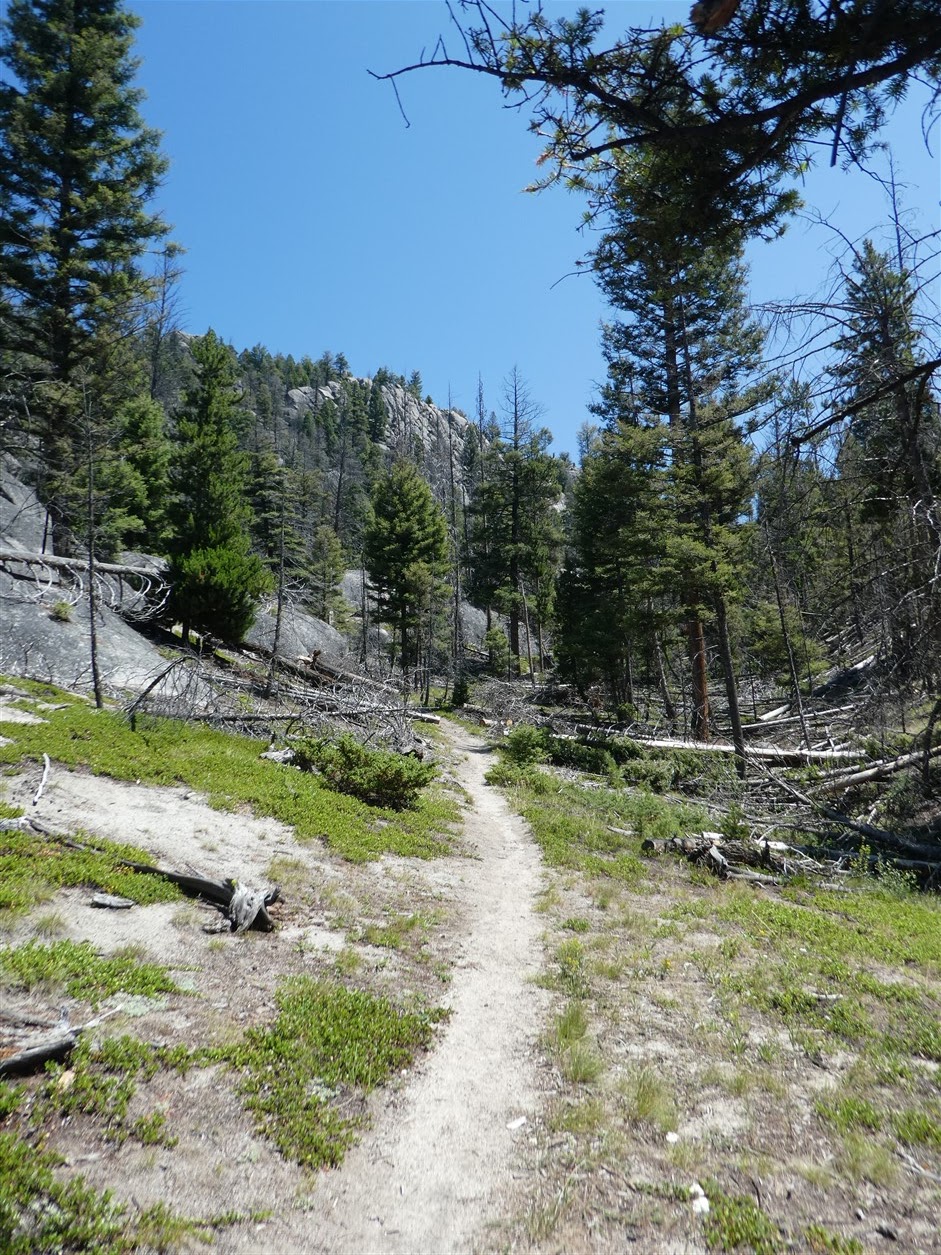 |
| A good trail nonetheless; heavily traveled for a BLM site |
 |
| It was hot, even at over 6,000 feet, and we didn't get much beyond the 2.5 mile mark |
 |
| And the views did not seem to get better than this |
 |
| Free range cattle were always nearby |
 |
| Interesting place |
No comments:
Post a Comment