Friday, February 9, 2018

Haast Pass And The West Coast, 2

We drove on the next day, February 5th, through Hokitika and Greymouth to the pancake rocks at Punakaika. At last the road returned to the coast and the marvelous seascapes reappeared.
On the beach at favorite Hokitika, site of much of Eleanor Catton's
The Luminaries, a favorite novel; we would have walked the
lovely town, but it was pouring rain, and we needed to be at
Punkaiki for the high tide...

Another one-way bridge

This time shared with trains ("Give Way")

Seascapes...among my favorite bits about NZ


In 2014, we walked out among some of these...at low tide


Still more damage from the cyclone

Keep right

Further down from Panakaiki, a really major washout; but note
that the NZ roads department has characteristically provided for
a bike/pedestrian lane, nonetheless


Haast Pass And The West Coast, 1

After Glenorchy and the Routeburn hike, we decided our business in the south was finished and it was time to head north via the most expeditious route, the west coast. There were surprises along the way...
We drove from Glenorchy back through Queenstown, across
the Crown range again, and stopped to walk a bit of Wanaka;
here, at a lakeside park market

Thunder Creek Falls, near Haast Pass

Among the longer of the many one-way bridges on the South
Island

Opening onto the Tasman Sea

The west coast bush is among the most impenetrable we've seen;
don't even think about the sandflies

Occasional seascape glimpses


Encampment by a historical marker...somebody made it this
far in the expedition of 1846-47

Somehow, it had not occurred to us that the passage of the
cyclone, especially as it made landfall, might have had
consequences for the coast, and for the road...

Even in the best of circumstances; welcome to the west coast


First of several crews removing debris from the road

Lunch time stop in the rain at Lake Mapourika

"Just kayakin' in the rain..."; don't even think about the sandflies


More clean-up; we were impressed with how quickly the whole
long mess of a road was being cleared

Elecctric lines down

Indeed!

Eastside Routeburn To The Flats Hut

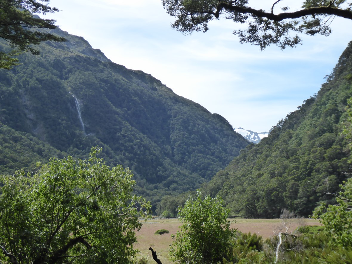
We did this day hike in 2009, preparing for the larger Routeburn tramp, then as part of the descent on the Routeburn; then the day hike again in 2014. It's a beautiful 4-5 hour walk, mostly astride a beautiful river, to the high Flats and the DOC hut there.
They're still trying to eradicate many of the small predators
introduced in the 19th century, in order to save the kiwis and
other defenseless critters

After ten years of this, Vicki no longer has to conquer her fear
crossing swing-bridges; in New Zealand, anyway


Mountains, forests, river


Violent, big white-water, then beautiful, still, green pools


The water here is about a foot deep, but so clear as to be
invisible

Trap (and not the "Hav-a-heart" variety)

In the Flats


The Flats Hut

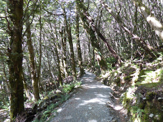
Standard manicured Great Walks Track


Endless beeches, ferns, fern trees

End of hike