Thursday, November 12, 2015

Grand Staircase/Escalante/Route 12

Southern Utah has five of the nation's great national parks, not a few national monuments, and, of course, the north rim of the Grand Canyon, just over the border. And scores of state and other parks, too. Our current travels have been a reconnaissance in force, and apart from the Arches NP area, we have been breezing through, seeing what seemed of interest or obligatory and taking lots of notes for a future extended visit. Cold weather has been chasing and inhibiting us. The Bigfoot is good down to sub-zero temperatures, we know, but it's just not all that much fun hiking in 30 degree temperatures, with occasional snow and ice on the ground. Among the notes taken, in any case, is the impressiveness of the Grand Staircase/Escalante National Monument. A few of its 1.9 million acres (!) can be seen from Utah's route 12 "All-American Road" and from US 89. On some maps it will be just a blank spot between Canyonlands NP and Bryce Canyon NP. If you enter this blank spot, be sure to have the National Monument's map and brochure as well as the Route Guide to Scenic Byway 12. The scenery rivals what you can see in the national parks and there seem to be camping and recreational opportunities around every bend. We discovered all this at the end of the trail and not the beginning, and so our visit was a bit less disciplined than it might have been. Nonetheless, we were struck by the scenery, among other things, and took a few pix.... Oh yes, to be designated an "All-American Road," a federal designation, a road has to be "a destination unto itself," in addition to meeting a variety of other requirements.


Wednesday, November 11, 2015

Capitol Reef National Park

"Waterpocket Fold National Park" obviously wasn't going anywhere, according to the focus groups, and so, I surmise, the National Park Service had to come up with something a bit sexier, more enticing, even for visitors to Utah. (Try ordering a double of any adult drink in Utah...). So, yeah, maybe a beach theme: "Capitol Reef." Yeah, sun and fun. Maybe a luau and tiki huts and surf boards and dancing girls. Let's get back together and do it again. Except during thunderstorms and flash floods....

Despite the misnomer thing, it's a pretty neat place, showcasing and protecting the Waterpocket Fold, a 90 mile geologic monocline that is its own micro environment, with a human history and pre-history to match. The monocline is an up-thrust staircase of hundreds of millions of years old sediments, now an eroded wonderland of peaks, domes, cliffs, towers, spires, and arches. We spent only a day there, driving on to beat an incoming winter storm. But we'll be back.
En route to Capitol Reef NP


See, Waterpocket Fold; I wasn't making it up


Approaching Fruita, the 19th century Mormon settlement, known
for its extensive orchards; but on the wall above, more rock art


Thus


And thus


After doing the visitor center and film, we drove the scenic
road, veered off onto a scenic unpaved road, and then finally,
on foot, onto the scenic Capitol Gorge Trail...
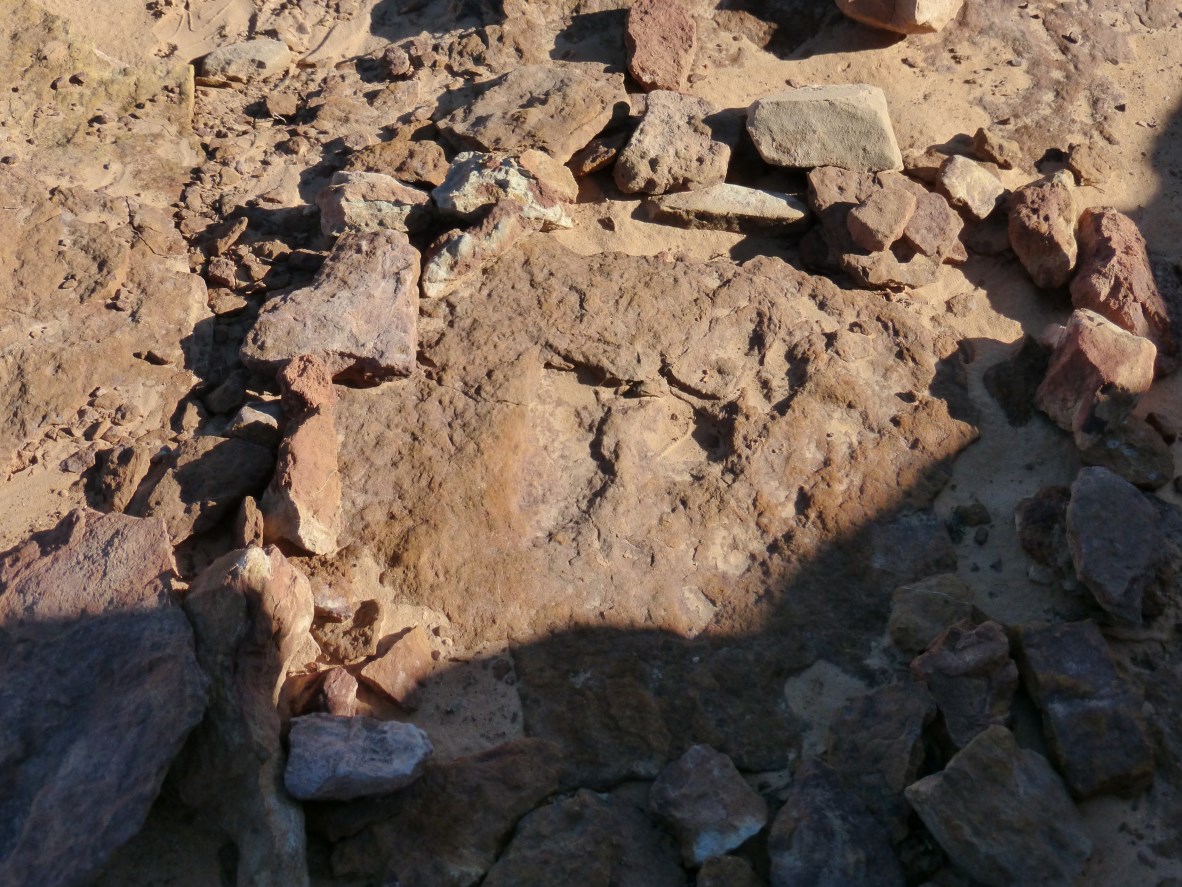


More rock art


Thus


A real slot canyon


Definitely not summer; nor a beach


More pictographs


And now we are climbing up a little side canyon to see some
of the "tanks," waterpockets that are characteristic of the area,
and which provide for much of the micro environment


Thus


And thus


Walking


And then driving back out


Wait a second! Was that there when we drove in?!


Neat place; we'll be back...with our surf boards


Tuesday, November 10, 2015

Horseshoe Canyon: Rock Art Rocks, 3

And now, the exciting conclusion of our visit to Canyonlands National Park's Horseshoe Canyon...
A detail, still at the Great Gallery


Another detail; the volunteer ranger who patrols the canyon
daily arrived and enlightened us about the paintings, etc; said
the dinosaur footprint in the stream had been buried in floods
some years back, but told about other dinosaur footprints
elsewhere; and how to find the High Gallery, which we had
missed on the way in; until he arrived, we had had the canyon
to ourselves; five or six others arrived as we were marching
out


Last look at an unforgettable place


Back on the trail


Thus


A turn and high overhang in the canyon; there are many
horseshoe turns in this little canyon; a better name might
have been Serpentine Canyon


Trudging back down the canyon


Evidence of recent flash flooding all around


Thus; we saw enough flash flooding during our thirteen 
years in Dallas; don't need to see any more; I'll never 
forget the sensation when our Mazda began (briefly) 
floating its way down Abrams Road...


Not the face of Abraham Lincoln


And then appears the High Gallery


Thus; many people miss it, the ranger said, as we did initially,
because it is so much higher on the wall than expected


We returned to the Horseshoe Shelter, across the stream


For the ussie we forgot to take at the Great Gallery


And then began the 600 foot climb out of the canyon


Finding a dinosaur footprint


Next morning, after a great visit to Horseshoe Canyon, driving
out back to route 24