


 |
| Environs, Fisher Valley |
 |
| Some of the Towers, from the trailhead |
 |
| Proceeding on |
 |
| Way up there |
 |
| At least two parties on this one |
 |
| Way up there |
 |
| Posing |
 |
| Lunch break, with cup-holder |
 |
| The Titan, the big one we came to see...900 feet above the valley |
 |
| Fixed ladder on the trail |
 |
| Towers all over |
 |
| And a last look |
 |
| Google Earth view of the Fiery Furnace, 3 miles up; how do those little cars get so high? |
 |
| Ranger Glenn explains fins and arches, and salt domes, using a sponge model; I've been going on NPS ranger hikes since 1970; scores of them, many scores; this was one of the best |
 |
| A pot-hole arch, small |
 |
| Another, larger |
 |
| Another, small; in order to qualify, according to the NPS, a span has to be at least 3 feet, admit light, and be natural |
 |
| Looking up, occasionally |
 |
| But mostly down, to see where you're going |
 |
| Ranger-led hikes typically take you places you cannot or should not go by yourself; and there's generally far more talk than walk--in 3 and 1/2 hours we walked maybe a mile and 1/2--but the talk is the great thing, something you'd not get any other way |
 |
| Nice double arch; alas, I don't recall many of the arches' names |
 |
| A pot hole; it rained a few days back; but swimming in this pot hole and others are tiny Fairy Shrimp; one of those organisms that seems to survive almost anything; speaking of which, check out Tardigrades...inter-galactic travelers? |
 |
| Again, looking up |
 |
| Executing the "slide on your butt" maneuver; we'd already done some chimneying |
 |
| Another medium-sized arch, the Kissing Turtles |
 |
| Many readers have asked why I don't post more pictures of coyote scat; OK, so here is some coyote scat |
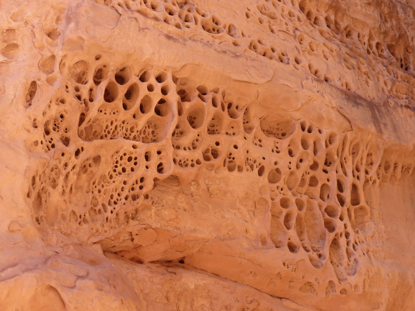 |
| Erosion |
 |
| More arches |
 |
| Fin-land |
 |
| One final arch, the best of them |
 |
| Thus |
 |
| Great place, great hike |
 |
| Tunnel Arch |
 |
| Pine Tree Arch |
 |
| Fins...wherefrom arches come... |
 |
| Sand Dune Arch, within the fins above |
 |
| Broken Arch |
 |
| Delicate Arch |
 |
| Skyline Arch |
 |
| Sunset view from our "campsite" in the desert |
 |
| For much of our time in the Arches/Moab/Canyonlands area, we camped like regular Red Rock troopers, out on the desert, in the dispersed camping area along Willow Springs road, off route 191 |
 |
| Moon sighting along the trail to Landscape Arch |
 |
| Us, with Landscape Arch behind us |
 |
| Closer up |
 |
| Standard view; almost the length of a football field |
 |
| The trail not taken: a "primitive" trail went on beyond Landscape Arch |
 |
| Neither of us felt like the trail's exposure... |
 |
| Environs |
 |
| The Double O arch, near Landscape |