Saturday, February 21, 2015

Snowmobiling The Continental Divide Trail, 4: Green River Lakes

The ride to Green River Lakes has always been my favorite snowmobile ride, and Thursday's ride was easily the best of them all. It was 48 miles, mostly on the CD, from the Warm Springs parking lot to the edge of the lower lake. The skies were clear and the temperatures were almost warm for February. And the whole ride had been beautifully groomed the night before. The were other snowmobiles in the area—the Rapid City club had shown up in the parking lot that morning, with 28 sleds—but clearly they had other priorities. It took us about two hours to get to the lake, and, first time ever, we had the place entirely to ourselves. Never saw another soul. (Did see moose and elk, and bear and mountain lion tracks near the lake). The silence, not to mention the scenery, was incredible. On the way back, we took variants N and S. S would have been better on the way to Green River, since much of the ride faces the Winds, relatively close up. About 120 miles total, and six hours of great riding.

So, what are the Green River Lakes, you ask? The Green River, aka the Colorado River, downstream, rises in the Wind River range, from one of the five glaciers on Gannett Peak. As it leaves the mountains, it passes through the beautiful Green River Lakes. The lakes are surrounded on three sides by high walls and peaks, and back-dropped by Squaretop Mountain. Wyoming has three utterly iconic scenes: Devil's Tower, the Tetons, and Squaretop Mountain rising behind the Green River Lakes. This trail, on Forest Service land (there's a popular summer campground on the lake), is as deep as you can get into the Winds on a snowmobile (or a car, in the summertime). Legally.
Our snowmobile, with it many campaign pennants, 2004-2015


Headed south on the CD, the Absarokas on the left


A bit further on, the Gros Ventres range on the right


From the Strawberry Hut south, all the way to the junction with
the N trail and the bridge over the Green...12-15 miles of
unridden, freshly groomed trail...typical CDT


On trail N, the Green River over there under the snow


Not far from the junction of the CD and N, a warm springs
where a protected fish species lives...the Kendall Warm
Springs Dace


After several more miles of N, you branch onto GL and encounter
a prominent elk feeding area


Thus; hundreds of elk


That close


Approaching Green River Lakes


Up closer


Enlarge and find the two moose in the trees


At the entrance to the summer campground and trailheads


There, finally, on the shore of Green River Lake


Squaretop Mountain...to be continued

Dubois, WY

Wednesday was an administrative day. We drove the thirty or so miles into old friend Dubois (population 900+), gassed, propaned, washed, dumped (through the kindness of the laundromat guy, who also owns the car wash, which had a clean-out...a bit of Western kindness and resourcefulness), provisioned, stimulated the local economy, and took pix for the blog. Dubois is just northeast of the Winds, one of its gateways, and a place we have visited or passed through many times. 

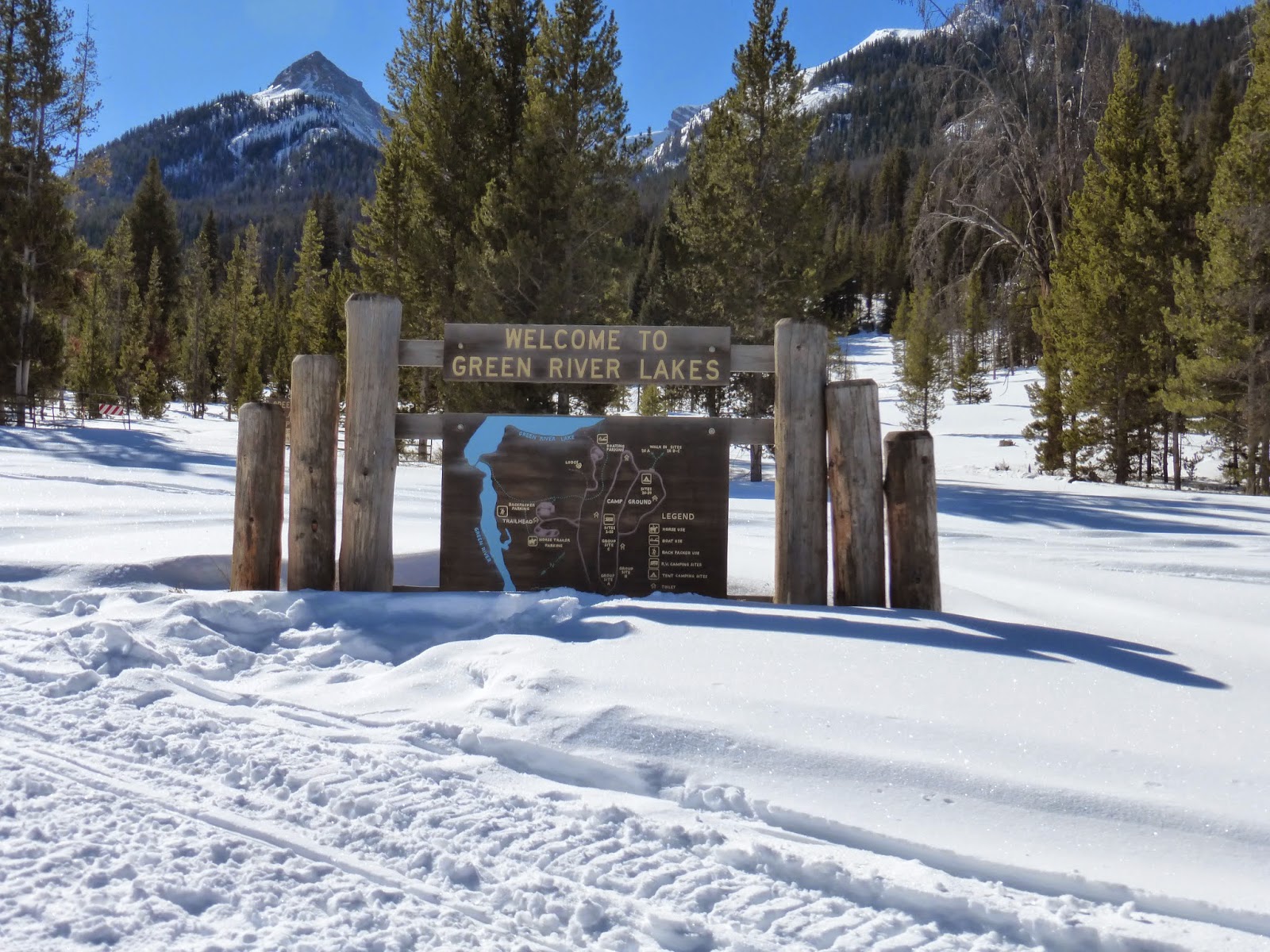
Our base near Togwotee Pass was too far away to do the ride to Green River Lakes, one of my favorite places, so we needed to find a place to park/camp further south, high up, and connected to the CDT system. A look at the map and conversations with NFS personnel and Lava Lodge suggested the Warm Springs parking lot, on Union Pass Road, southwest of highway #26. In normal snow years, we probably wouldn't have tried it. But this year, no problem. We got there, up a few miles of switchbacks, great dirt road, some snow and ice, well before dark. It turned out to be a place we have snowmobiled through many times, a quarter mile from the Line Shack and not too far from the Tie Hack and other places we have over-nighted on previous snowtreks in the area. Never knew it had a name. We were the only rig there. 8,300 feet. No service and no wifi, but plenty of snowmobiles riding through to the Line Shack.
At the parking lot near Lava Lodge, a dumpster on skis


I'll always remember Dubois as the place where
they had a saloon in a cave off the main street,
in the early 70s; locals say it was never a saloon,
just beer storage for The Outlaw; I'm sticking
with my story 


Bigger picture


Outside the game meat processing and hide tanning shoppe;
beware of tanning shoppes in Wyoming and Montana; they
may not be what you think...


The Wind River as it wends its way through Dubois; downstream
it becomes the Bighorn River


Elk and bear cult monuments


Typical local architecture


Board walk on main street


Sadly, there was a New Year's Day fire on main street, damaging
or destroying several of the historic buildings


Nice laundromat and sculpture


Free bike use in town


Nice folks, but not to be doubted


Largest known specimen of the Wyoming
Jackalope; the last breeding pair was killed--
one shot--in 1889, just a year before
statehood


--Posted from the very nice Dubois Public Library

Wednesday, February 18, 2015

Snowmobiling The Continental Divide Trail, 3

Tuesday we woke up to -6 degrees. All seems well: Vicki's remote sensors keeping the assorted tanks and lines from freezing and us warm enough. After checking propane levels and getting the generator going for a while, we suited up for our last day in this northern part of the Continental Divide trail system, hoping to ride west and south, perhaps as far as Slide Lake, closer to Jackson than here, Togwotee Pass. The day was bright and clear, if chilly, the trails we traveled recently groomed, and with little company, and the scenery gorgeous. Perhaps our best riding so far, despite the setback...
Another beautiful, chilly day; and more mountain scenery


Rack for hanging food away from bears (when they're out)


Heading south and east, along trail W, toward the Gros
Ventres range


Thus, even contemplating carrying on to Slide Lake


The trail does not go ever on from here; in high winter, snow
trails often pass over streams and creeks; sometimes you don't
even know you've crossed a stream


But this one has melted out; sportier one-up machines might
jump or slog this, but our heavily-laden two-up, 1,000 cc,
lumbering behemoth would only sink to the bottom; so we
backtracked and did some other trails


What's a kitty-cat doing out here?


Anyhow, ever more scenery and good riding


And every now and then, views of the Tetons

Monday, February 16, 2015

Snowmobiling The Continental Divide Trail, 2

We'd hoped Saturday night's snowfall would have melted off our solar panels Sunday: not so. And we'd assumed our generator would start right up despite the -1 degree temperature last night: also not so. Our batteries were getting close to 50%. We're thinking maybe it's time to go to a campground and charge up. Except there aren't any campgrounds open this time of the year in Wyoming. At length, however, the generator decided to cooperate, and I spent an hour up on our telescoping ladder scraping snow and ice off the solar panels. By noon, all was well, the batteries had already transitioned from bulk to absorb, and the temperature outside had risen to 29. Life is good.

We suited up and headed out for another 50-mile ride, generally south and east of Togwotee Pass, toward Lava Lodge, looking for both savage and regular campsites. Not much success, except in the savage department. The ride back, on the CDT, was especially bumpy and unpleasant. But the scenery again was great.
More of the Absarokas, the great range that links Wyoming
and Montana


Thus


And thus


And thus


And a distant view of the Winds, to the south


Among the charms of these rides are the welcoming ranches/
lodges tucked away along the trails, often accessible primarily
by snowmobile this time of year


Fixer-upper department: abandoned yurt

And more mountain scenery

Sunday, February 15, 2015

Snowmobiling The Continental Divide Trail, 1

We had snowmobiled the CDT on several occasions in earlier years, mostly from Ashton, ID--a very long ride--but also from where we are now, Togwotee Pass, in WY. It was a long drive from where we lived, Missoula, MT, but worth it every time, usually the whole spring break. The CDT is a network of trails, 600 miles of them, generally northwest and astride the Wind River Mountains. It is simply the best of all snow trail systems, most scenic, best served, most extensive and varied. And, even in this low-snow year here in the Rockies, there is a ton of snow, especially from where we are parked at 8,500 feet. We did a 50 mile ride today, mostly west and south of the Pass, and mostly gawking at the unsurpassed scenery.
It snowed here last night, a couple inches, first snowfall we have
seen on this campaign...


Mt. Moran, northernmost of the big Teton peaks


South, Middle, and Grand Tetons (and Teewinot)


Another view


And another, with Jackson Lake in there too; they're
captivating, even at this distance


A few hours later, and back toward the east, a bit of the
Absaroka range


Step pyramid in the Absarokas?!