


 |
First up was the village of Ortahisar, famed for its "castle," a huge spire carved up into a variety of chambers, terraces, etc. |
 |
Parking with the big dogs; despite the appearance, Ortahisar is one of the least touristy of the sights; the buses roll in, park on the square, everyone runs out and snaps a few pix of the castle, buys a half kilo of dried apricots, and hops back on as the bus continues its rounds |
 |
We liked our parking spot so well we stayed a couple hours, walked the main drag, did some grocery shopping, had lunch in the camper, and watched as--for once in our experience--the call to prayer occurred, shops and cafes actually closed, and the men walked to the mosque (the women stayed home preserving their modesty, no doubt); there were many other manifestations of traditional, unaffected village life to see, some of interest, some pitiable |
 |
Preview of upcoming "cats of turkey" post |
 |
View from the top (of the castle); another castle |


 |
In the Meskindir, really more a canyon than a valley
|
 |
Typical Meskindir terrain
|
 |
Cliff dwellers
|
 |
We passed through numerous arches, natural bridges, and
tunnels in the rock, most natural, I think
|
 |
Opening out into the Rose canyon now; note sophisticated
signage |
 |
The Three Sisters; wait, no, it's the Three Musketeers...
|
 |
The Howling Dog, or maybe the Howling Cat...
|
 |
Spiro's Spires
|
 |
The Organ Pipes; yes, I am making this all up as I go
|
 |
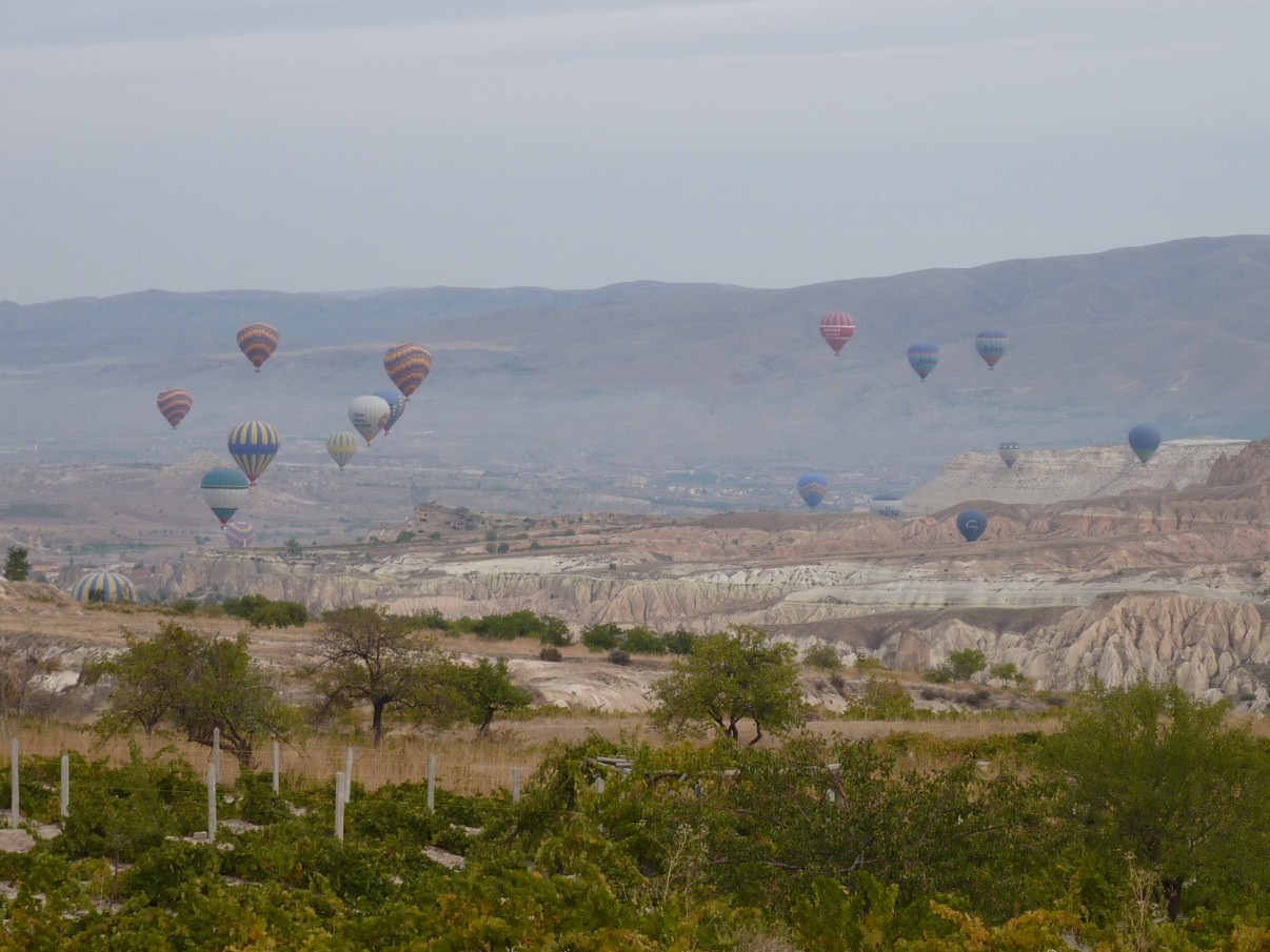
Now atop the ridge that took us back to the campground, a
view of the Rose Valley; for days now, we have been
amazed at how much central Turkey looks like the American
West; but no cowboys nor Indians, nor rodeos, nor Mint
Saloons, however; minarets in the distance, calls to prayer, figs and dates, pistachios, rugs, more rugs, camels, tour buses... |
 |
Another World Heritage Site
|
 |
It is difficult to convey the scale of Goreme--it is several acres but few distinct
"buildings"; this photo show a small bit of the complex |
 |
Goreme was primarily a collection of abbeys and nunneries
and such; no residences, at least in the village sense; here's Vicki sitting at a stone refectory table that could seat 40 |
 |
Some of the chapels were done in very primitive ways; iconoclasm
|
 |
Of all Goreme's assorted chapels and churches, our favorite was the Dark Church
(no relation to the Dark Lord, although it did have an addtional 8YTL entrance fee); here the 10th and 11th century painting is impressive, even defaced by the conquering Muslims (typically, they only scraped away the eyes; later hordes of mostly Greek tourists, at other sites, would deface them completely with their names and signatures) |
 |
More Dark Church
|
 |
More ditto, with digital issues
|
 |
Old guys rule
|
 |
Ceiling view
|
 |
One last scene
|
 |
The Nunnery; now condemned, no entry
|
.jpg) |
Obligatory St. George/snake (sort of a dragon) in another chapel
|
 |
In the Tokali Church, also 10th-11th, a shade of blue most unusual for the time and
place |
 |
The Goreme museum is adjoined by the usual bazaar of tourist shops, the most
interesting of which was the wine store; Cappadocian wines are respectable, if not yet great; I am enjoying a pleasant red wine, lighter-bodied, fruity; the whites I tasted varied but some, especially the Uchisar, were very good indeed; what? your local wine store does not carry Turkish wines?! |
 |
The Goreme Open Air Museum parking lot, next morning;
we are parked, grid-locked, at the bottom left; but it was OK;
we were touring the museum
|
 |
It being time to wash, water, dump, etc., we spent the next
two nights at the very nice Kaya campground, overlooking
the Meskindir and Rose Valleys, Goreme, and practically
everything else in Cappadocia
|
 |
Meskindir Valley, from our campsite
|
 |
A few of the nearby "fairy chimneys"
|
 |
Not all that far away, Mt. Erciyes, whose eruptions millions
of years ago laid down the dominant surface rock layers of
the area; differential erosion has done the rest; it is nearly
13,000 feet high, almost perennially snow-covered, known
to the Hittites as "White Mountain"; only Ararat, in
eastern Turkey, is higher
|
 |
The campground had other advantages, including a market,
a rug store (!), and bunches of grapes hanging from arbors
all around; ripe, too |
 |
Gooseherd |
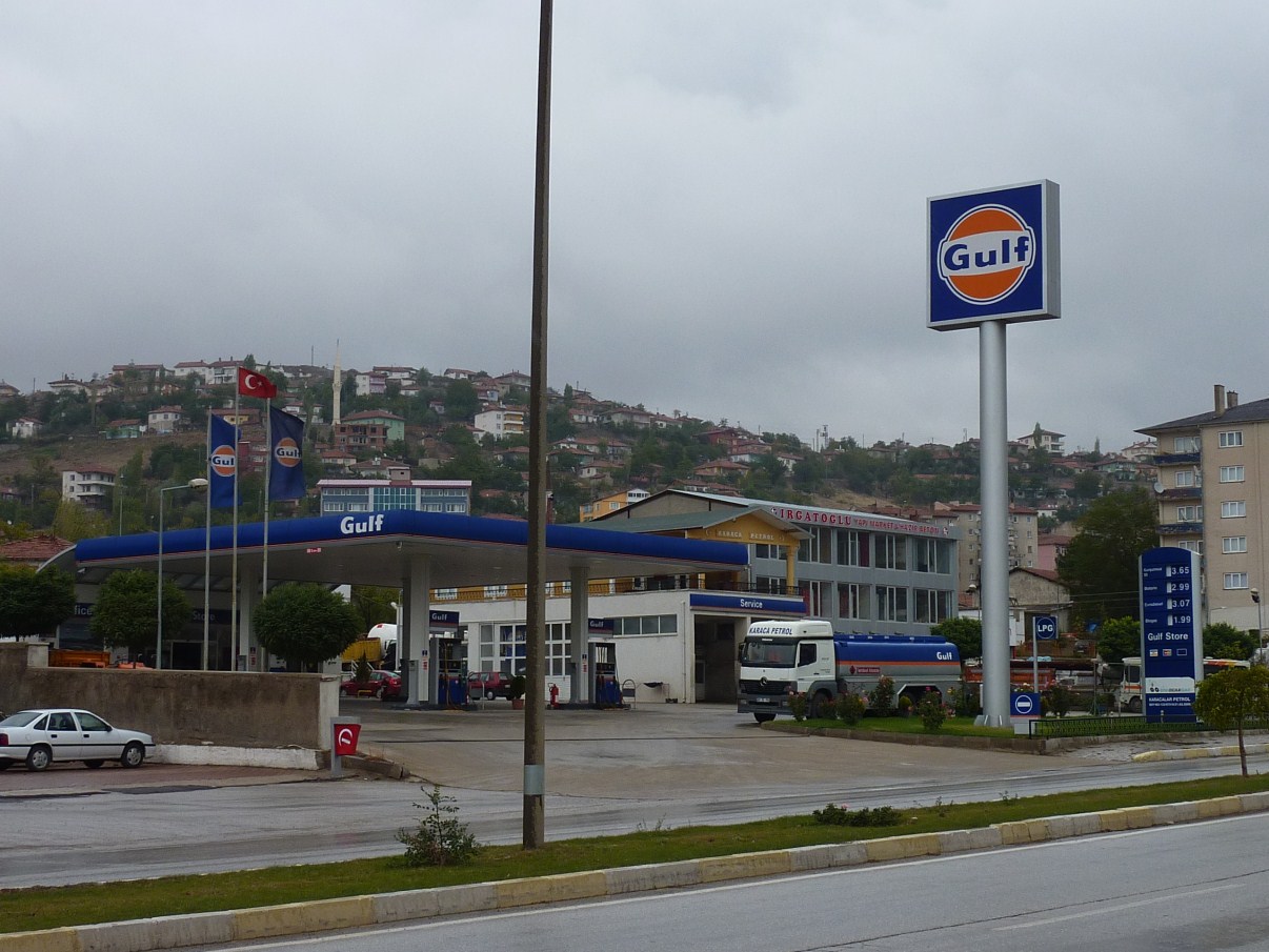 |
It's been years since I have seen a Gulf station, but they're alive and well in Turkey |
 |
A rural cemetery, rough stones as markers; Muslim cemeteries do not appear particularly well manicured |
 |
The road from Ankora to Goreme, particularly the high plains, are fairly littered with tumuli like this and the one in the background; sometimes they are double tumuli (his and hers?); none signed in any way; must look this up... |
 |
Sugar beet harvest, mile after mile |
 |
High plains, central Turkey |